Works Progress Administration

WPA Writers’ Program — American Guide Series2.0

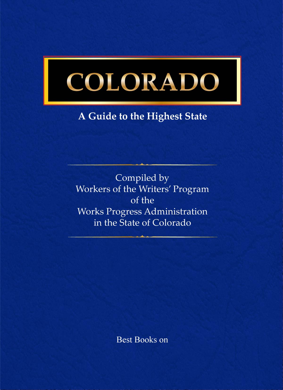
Cover of Colorado: A Guide to the Highest State, American Guide Series

American Guide Series · Volume 06

Colorado

A Guide to the Highest State

Read for Free Purchase on Amazon

As an Amazon Associate I earn from qualifying purchases.

Introduction

Estimated by the Pound, Not the Number

“Comes now the Colorado State Guide,” the preface announces, “with its carefully garnered historical data, maps, and pictures that both confirm and correct the bright expectations of the half-million annual visitors to the State.” It is a fitting opening for a book about a place of superlatives: a state of tremendous mountains that gave forth almost a billion and a half dollars’ worth of gold and silver, of cool summer climate and high-range snowbanks, immense pine and spruce forests, half-mile-deep canyons, twelve-thousand-foot passes, and trout streams and ski runs all reached by its 75,000 miles of roads.

Like every book on the writers’ program, this one is the product of many minds rather than a single author. The Colorado Writers’ Project assigned its personnel to strategic points across the state to accumulate first-hand information: tours were laid out and driven along main highways and intriguing byways, libraries were ransacked for source material, and the misty memories of pioneers were stirred into vocal reminiscence. The wordage thus organized, the editors joke, could be estimated more appropriately by the pound than by number — and only after months of checking and rechecking, mapping and remapping, was the book finished.

The guide’s structure carries that ambition. Part I, “Colorado and Coloradoans,” moves from the land — its geology, plant and animal life, and natural resources — through the people, from the men of the Stone Age and the Indian nomads to the plainsmen, the “Pikes Peak or Bust!” rush, territorial days, and the twentieth century, then surveys the economic base of mining, ranching, farming, and manufacturing and the arts that grew alongside them. Part II, “The Urban Scene,” profiles Boulder, Colorado Springs, Denver, Pueblo, Trinidad, and the mountain towns of Leadville and Central City.

Part III, “Up and Down and All Around,” is the longest section: twenty-one numbered automobile tours with their many lettered branches, plus dedicated sets of park and trail tours for Rocky Mountain National Park and Mesa Verde National Park — Bright Angel and Bear Lake, Longs Peak and the Cliff Palace. Because the guide went to press before the 1940 census figures were available, the 1930 population figures are used throughout the text, with the 1940 numbers gathered in the appendices alongside a chronology, a selective reading list, and the index.

Contents

Table of Contents

Colorado: A Guide to the Highest State
Foreword · by Ralph L. Carr, Governor of Coloradov
Prefacevii
General Informationxxi
Calendar of Eventsxxv
A Guide to Recreationxxix
Part I · Colorado and Coloradoans
The Land · Bird’s Eye View, Making of Mountains and Plains, Plant and Animal Life, Natural Resources3
The People · Men of the Stone Age, Indian Nomads, Plainsmen and Mountain Men, “Pikes Peak or Bust!”, Territorial Days, Statehood, Twentieth Century25
The Economic Base · Mining, Ranching, Farming, Stagecoach to Airliner, Manufacturing54
The Arts · Buildings Old and New, Paint and Stone, “Bells on Their Toes,” Drama and Melodrama, Books and Writers78
Part II · The Urban Scene
Boulder105
Colorado Springs111
Denver124
Fort Collins153
Grand Junction158
Greeley162
Leadville168
Pueblo182
Trinidad191
Part III · Up and Down and All Around
Tour 1 · (McCook, Nebr.) — Holyoke — Sterling — Fort Morgan — Denver — Georgetown — Loveland Pass — Glenwood Springs — Grand Junction — (Thompsons, Utah) [US 6]197
Tour 1A · (North Platte, Nebr.) — Julesburg — Sterling [US 138]208
Tour 2 · Sterling — Fort Collins — Cameron Pass — Walden — Muddy Pass [State 14]211
Tour 3 · (McCook, Nebr.) — Wray — Brush — Greeley — Estes Park Village — Rocky Mountain National Park — Junction US 40 (Granby) [US 34]216
Tour 4 · Junction US 87 — Boulder — Lyons — Estes Park Village [State 7]222
Tour 5 · (Goodland, Kans.) — Burlington — Limon — Colorado Springs — Buena Vista — Leadville — Tennessee Pass — Mount of the Holy Cross — Glenwood Springs — Rifle — Grand Junction [US 24]224
Tour 5A · Junction US 24 — Summit of Pikes Peak [Pikes Peak Highway]241
Tour 5B · Divide (Junction US 24) — Cripple Creek — Victor — Florence (Junction US 50) [State 67]245
Tour 5C · Junction US 24 — Twin Lakes — Independence Pass — Aspen — Glenwood Springs [State 82]253
Tour 5D · Leadville — Carleton Tunnel — Nast — Meredith — Basalt [State 104]258
Tour 5E · Junction US 24 — Grand Mesa — Skyway — Cedaredge — Delta [State 65]260
Tour 6 · Idaho Springs — Central City — Blackhawk — Nederland — Boulder [State 279 and State 119]263
Tour 7 · (Sharon Springs, Kans.) — Cheyenne Wells — Limon — Denver — Idaho Springs — St. Marys Glacier — Berthoud Pass — Granby — Hot Sulphur Springs — Steamboat Springs — Craig — (Vernal, Utah) [US 40]271
Tour 7A · Junction US 40 — Golden — Lookout Mountain — Junction US 40 [State 68]283
Tour 7B · Kremmling (Junction US 40) — State Bridge — Wolcott (Junction US 24) [State 11]286
Tour 7C · Junction US 40 — Sunbeam — Greystone — Lodore Canyon Camp [State 318]288
Tour 8 · (Tribune, Kans.) — Eads — Ordway — Pueblo — Westcliffe [State 96]292
Tour 8A · Pueblo — Goodpasture — Junction State 96 [State 76]298
Tour 9 · (Garden City, Kans.) — Holly — Lamar — La Junta — Pueblo — Canon City — Salida — Monarch Pass — Gunnison — Montrose — Delta — Grand Junction — Fruita — (Thompsons, Utah) [US 50]301
Tour 9A · Junction US 50 — Site of Bent’s Fort [unnumbered road]316
Tour 9B · Gunnison — Crested Butte — Kebler Pass — Paonia — Hotchkiss [State 135]318
Tour 9C · Sapinero — Black Canyon of the Gunnison — Hotchkiss — Delta [State 92]321
Tour 9D · Grand Junction — Colorado National Monument — Fruita [unnumbered road]323
Tour 10 · La Junta — Thatcher — Trinidad [US 350]326
Tour 11 · (Johnson, Kans.) — Springfield — Trinidad — Walsenburg — La Veta Pass — Alamosa — Pagosa Springs — Durango — Cortez — (Monticello, Utah) [US 160]328
Tour 11A · Trinidad — Stonewall — Junction US 160 [State 12 and State 111]346
Tour 11B · Walsenburg — Westcliffe — Texas Creek (Junction US 50) [State 69]350
Tour 11C · Alamosa — Mosca — Great Sand Dunes National Monument [State 17 and State 150]355
Tour 11D · Junction US 160 — Consolidated Ute Agency — Ignacio [State 284 and State 172]358
Tour 11E · Cortez — Hovenweep National Monument — Yucca House National Monument — (Shiprock, N. M.) [US 84]362
Tour 12 · (Cheyenne, Wyo.) — Greeley — Brighton — Denver — Littleton — Castle Rock — Palmer Lake — Colorado Springs — Pueblo — Walsenburg — Trinidad — Raton Pass — (Raton, N. M.) [US 85]364
Tour 13 · (Cheyenne, Wyo.) — Fort Collins — Loveland — Longmont — Lafayette — Denver [US 87]379
Tour 13A · (Laramie, Wyo.) — Virginia Dale — Fort Collins [US 287]384
Tour 14 · (Laramie, Wyo.) — Walden — Rand — Junction US 40 (Granby) [State 127 and State 125]387
Tour 15 · Denver — Morrison — Platte Canyon — Kenosha Pass — South Park — Junction US 24 (Buena Vista) — Salida — Poncha Pass — Saguache — Monte Vista — Alamosa — Antonito — Cumbres Pass — (Chama, N. M.) [US 285]390
Tour 15A · Morrison — Park of the Red Rocks — Evergreen — Echo Lake — Summit of Mount Evans — Idaho Springs [State 74 and State 103]401
Tour 16 · Junction State 11 (Kremmling) — Breckenridge — Hoosier Pass — Alma — Fairplay — Junction US 24 (Hartsel) [State 9]404
Tour 17 · (Green River, Wyo.) — Craig — Meeker — Rifle [State 13]407
Tour 18 · Montrose — Ouray — Red Mountain Pass — Silverton — Durango — (Aztec, N. M.) [US 550]412
Tour 19 · Montrose — Nucla — Uravan — Paradox — (Moab, Utah) [State 90]420
Tour 20 · Junction US 550 — Ridgway — Placerville — Telluride — Lizard Head Pass — Rico — Dolores — Junction US 160 (Cortez) [State 62 and State 145]423
Tour 21 · Iola (Junction US 50) — Lake City — Slumgullion Pass — Spring Creek Pass — Creede — Wheeler National Monument — Junction US 160 (South Fork) [State 149]427
Rocky Mountain National Park (Park Tours 1–3, Trail Tours 1–4)434
Mesa Verde National Park (Park Tours 1–3)451
Part IV · Appendices
Chronology467
Selective Reading List473
Population Figures: 1940 Census480
Index497

Library Record

Full Bibliographic Record

Title
Colorado: A Guide to the Highest State
Author
Compiled by Workers of the Writers’ Program of the Work Projects Administration in the State of Colorado (Colorado Writers’ Project)
Series
American Guide Series
Sponsor
Colorado State Planning Commission (Ralph L. Carr, Governor, state-wide sponsor)
Foreword
Ralph L. Carr, Governor of Colorado
Publisher
Hastings House, New York
Publication Date
First published 1941 (Second 1943, Third 1945, Fourth 1946, Fifth Printing 1948)
Description
xxix, 511 p., plates: illustrations, maps (tour maps on lining papers); 21 cm. Includes chronology, selective reading list, 1940 census figures, and index.
Subjects
Automobile travel — Colorado — Guidebooks; Colorado — Description and travel; Colorado — History; Colorado — Guidebooks